Aircraft and helicopter noise
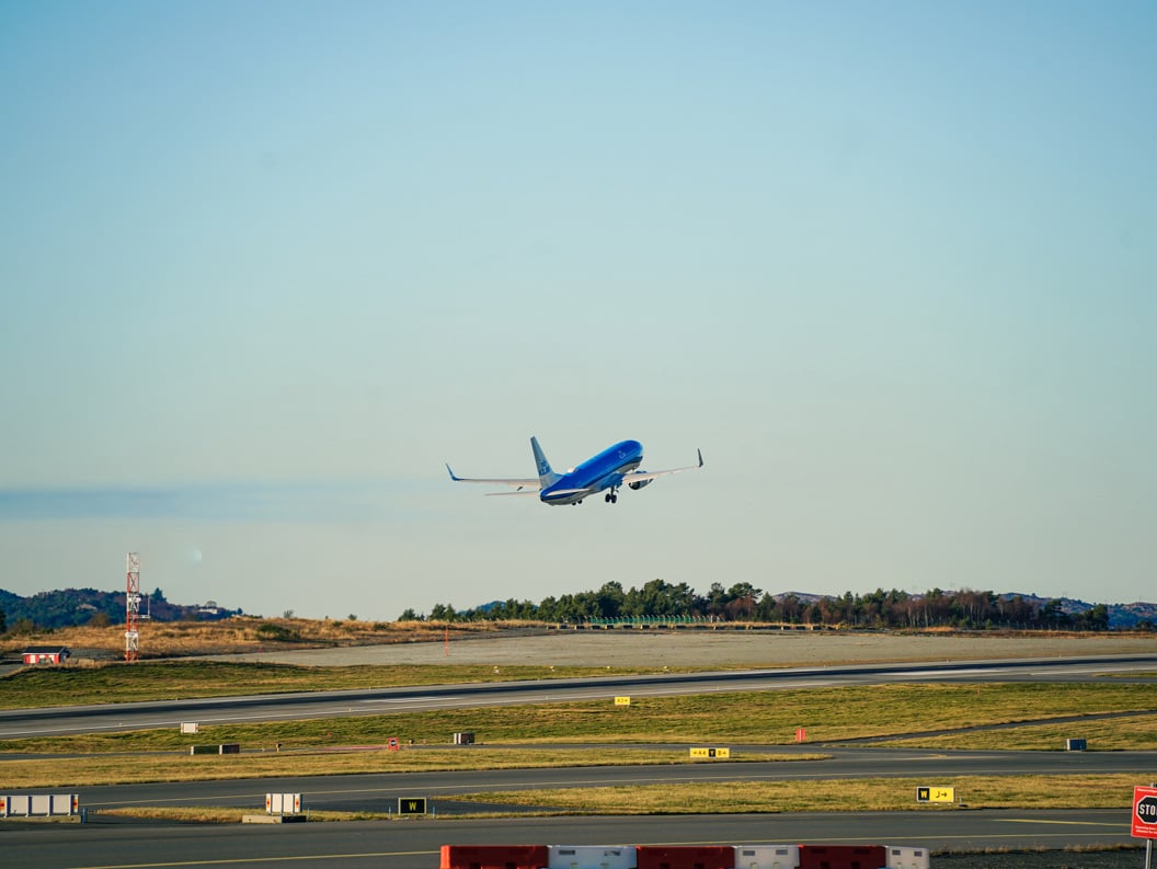
Noise from Aviation at Bergen Airport
Bergen Airport is responsible for mapping and managing noise from civil aviation. The noise mainly comes from air traffic and offshore helicopter traffic, and many perceive it as a nuisance. Helicopter traffic is often considered more disruptive than air traffic. On this page, you can read about the measures Bergen Airport is taking to limit the noise, current regulations and noise mapping, why the helicopters fly where they do, and more.
Regulations and noise mapping
The airport follows the pollution regulations, which require noise to be calculated. Measurements are conducted when needed for principal decisions or control. The airport is required to prepare a noise map that is sent to affected municipalities for inclusion in land-use plans, in accordance with the guidelines in T-1442 and the guide M-2061. The Bergen municipality is responsible for gathering noise sources from roads, railways, airplanes, industries, and other facilities.
After the noise mapping, the airport must investigate whether any properties in the red noise zone require measures, especially homes with an indoor noise level of Leq24h >42dB.
Questions and feedback
If you have any questions or comments about what is happening at or around the airport, we would like to hear from you. Please use the contact forms below, and we will get back to you as soon as possible.
Why airplanes and helicopters fly where they fly
Aviation is regulated by strict procedures to ensure safety and efficiency. Takeoff and landing procedures are either instrumental (IFR) or visual (VFR), depending on weather conditions. IFR is used in bad weather and requires greater distance between aircraft. VFR is used in good weather, gives the pilot better overview, and allows closer flying. High efficiency and minimal delays are important for both passengers, airlines, and the airport.
Helicopter traffic offshore
Offshore helicopters usually fly below 2000 feet, with a standard arrival and departure altitude of 2000 feet. LOS helicopters often fly lower, around 1000 feet. Over Bjorøy, the flight altitude is typically between 700 and 1000 feet.
Measures for offshore helicopter traffic at Flesland
Since 2015, Bergen Airport has been working to find better procedures for offshore helicopter traffic. Avinor has engaged in dialogue with affected parties and assessed areas experiencing noise burden. Four principles were formulated in 2016 to ensure a balanced assessment:
- Distribute helicopter traffic evenly (inbound and outbound over different areas).
- Route paths over the least built-up areas (mostly over water).
- Shield schools and kindergartens where possible.
- Arrival at 3000 feet and 120 knots (3000 feet proved to be impractical).
Challenges with procedure development at Bergen Airport
Several factors make it challenging to design good procedures:
- Many different types of aircraft (jets, offshore and rescue helicopters, Widerøe's turboprops, private planes) require adaptation.
- Residential areas surround the airport in all directions, especially at both ends of the runway.
- Hilly terrain with high mountains and bridges limits available flight paths.
Figure 2 – Current procedures 2021 for offshore helicopters.
Note! Theory and practice differ.

Explanation of offshore procedures
Departure Procedures (SID - Standard Instrument Departure)
The airport has two departure procedures for offshore helicopters. In December 2021, new departure procedures were published, shown with red lines in figure 2.
SID 35 (north) – Instrument procedure that begins at 500 feet altitude.
SID 17 (south) – Instrument procedure that begins at 500 feet altitude.

Procedures for passenger aircraft
Regular scheduled traffic can choose between IFR or VFR upon arrival/departure.
IFR for arrival and SID for departure. They use altitude from 3000 feet and above. It is only upon landing that they will use lower altitude.
ILS arrival 17/35 – aircraft arrive with a controlled 3-degree glide path towards the runway. ILS is a combination of various instruments and lights to safely guide the pilot to a safe landing. It is required to visually see the runway before landing. Landing is always done manually. Aircraft can land under worse conditions on runway 17 than on runway 35 due to an upgrade to CAT 2 in 2019.
SID departure 17/35 – aircraft departing from Bergen will have restrictions on starting turns west and east due to noise. West turn has a minimum altitude of 1500 feet, and east turn has 2000 feet. There has been a strong focus on this for some time from the tower and the airport. If the pilot needs to turn earlier due to obstacles like thunderstorms, they must request clearance. Such clearance will never be overridden by tower service. If it does not pose a risk related to other air traffic, clearance will be granted immediately.
Visual traffic (VFR) – During fine weather and good visibility, it will be possible to use rules for visual traffic (Visual Flight Rules – VFR). It makes it possible to fly more easily and provides greater runway capacity. There are also many aircraft that do not have instruments to navigate with and therefore are confined to only flying in good weather. This especially applies to GA traffic.
Statistics procedure use for offshore traffic
Statistics procedure use for offshore traffic 2023-2024:

Distribution of helicopter traffic in 2024
Questions and feedback
If you have any questions or comments about what is happening at or around the airport, we would like to hear from you. Please use the contact forms below, and we will get back to you as soon as possible.
Legal requirement
Relevant stakeholders related to noise
- Noise complaint to the Civil Aviation Authority – if the noise cannot be linked to the airport control zone
- Bergen Municipality - noise complaint
- Norwegian Association Against Noise